Trench T
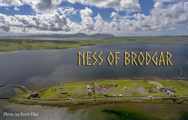
Activity has been going on apace in all of the principal areas of excavation, but it is fair to say that the one that has resulted in the most head-scratching this year is Trench T. Located about 75 metres southeast of the main excavations in Trench P, it cut across a mound of Neolithic midden ca. 70m in diameter and over 4m thick, the organic waste product of domestic occupation. The same material was found to overlay the buildings uncovered in the main excavations in Trench P, so there was every reason to expect architecture here as well.

Aerial of Trench T at the Ness of Brodgar (based on an original photograph by Hugo Anderson Whymark)
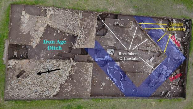
In 2013 it was decided to dig a trench from the top of the mound southwards towards Loch Stenness. At the top of the trench, dug into the midden, was a stone-lined ditch of Iron Age date— similar to the sort of thing found at many of the nearby brochs belonging to the same period. In the southern part of the trench the archaeologists encountered a large number of pits— at least 50 have been cleared to date. Some of them were stone-lined and all of them had been refilled with the same midden material. Their purpose remains a bit of a mystery to say the least.
Structure 27
During the course of the 2015 and 2016 campaigns, they began to encounter more and more architectural elements— stretches of masonry and a stone-lined drain. Things turned very dramatic, however, at the end of the 2016 season when it became apparent that  these were part of a rather large, rectilinear building. That part of it that has been unearthed so far indicate a structure at least 10 metres across, enclosed by thick stone walls made up of a rubble core with a carefully draughted outer face and an interior face held in place by a cladding of thin, upright sandstone slabs and a line of recumbent orthostats set on edge (left)— perhaps re-used standing stones or recycled from a stone circle. The walls were partitioned by thin upright slabs in much the same manner as the interior walls of the so-called ‘stalled’ cairns of the Orkney-Cromarty type of tomb and of Early Neolithic houses elsewhere in Orkney, such as Knap of Howar on Papa Westray.
In August of this year, yet another large, recumbent orthostat was uncovered at the northern end of the building, running parallel to the line of the interior walls and roughly midway between them. The site's director, Nick Card, has suggested that it might mark one side of an entrance passage.
The building must have been very important, as it’s construction suggests. The drains and the suggestions of pavement surrounding it would seem to confirm this impression— there must have been a fair amount of traffic around it. Elements of its construction, especially the partition slabs, suggest an early date, but, in the absence of a stratigraphic link with the rest of the site and with no pottery in a primary context nor any radiocarbon dates, it cannot yet be determined how this building fits into the overall sequence at the Ness but the fact that it was built on natural boulder clay would seem to indicate that it was early.
Unless otherwise indicated, all photos of the Ness of Brodgar dig are the property of the Orkney Research Council for Archaeology, University of the Highlands and Islands.


